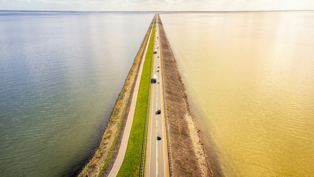
Afsluitdijk is a monumental feat of engineering in the Netherlands: a 32 km causeway-dike that closed off the Zuiderzee, creating the freshwater lake IJsselmeer. Inaugurated in 1932, it still protects the country from storms and serves as a spectacular road between Friesland and the western Netherlands.
Galerie photos
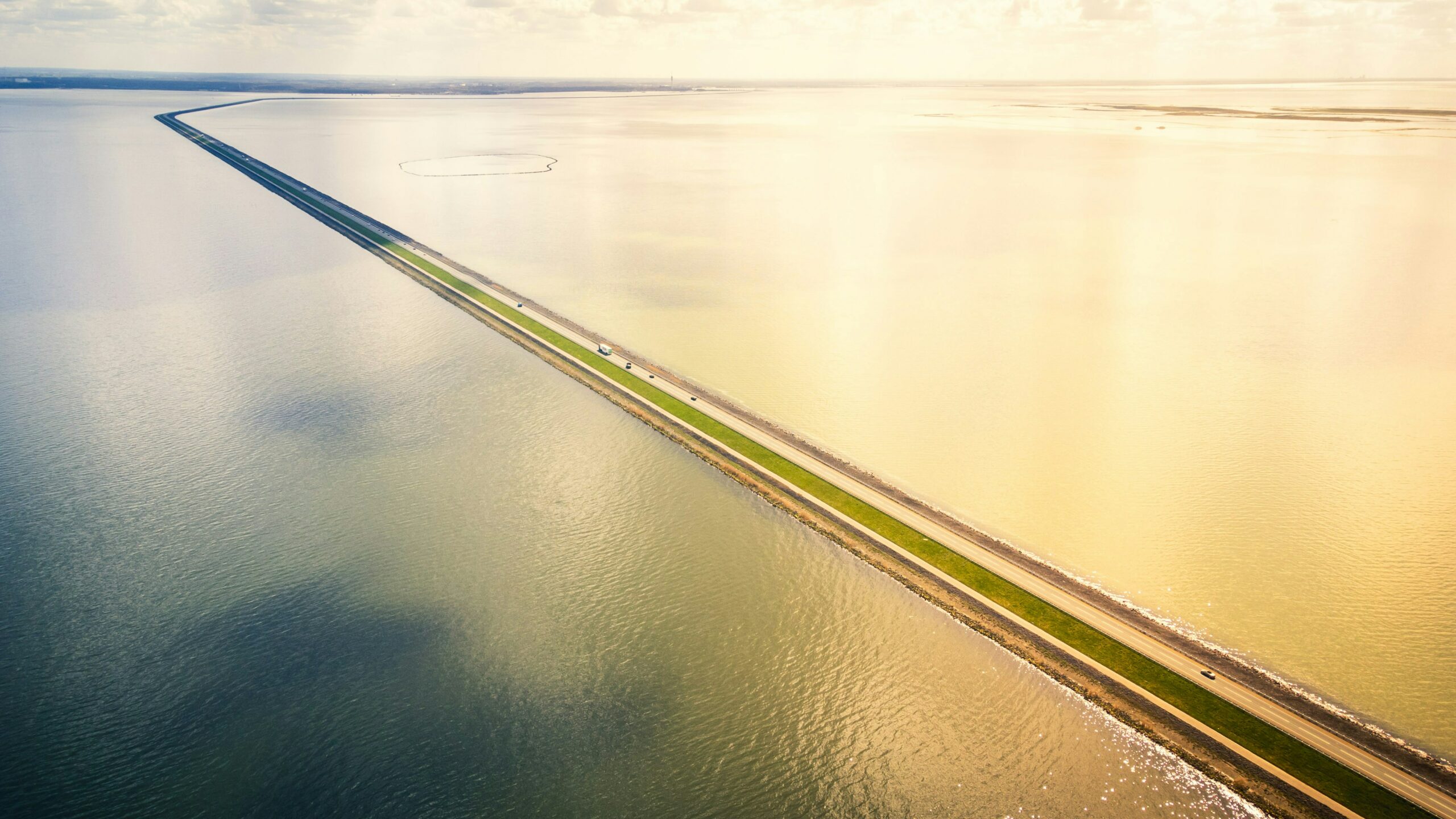
Photo de Denny Müller sur Unsplash

Photo de Denny Müller sur Unsplash
Context and objectives
Designed to prevent flooding and reclaim land, the Afsluitdijk symbolizes the historic Dutch struggle against the sea. The result of engineer Cornelis Lely’s plans, it closed off the North Sea to create stable, fertile, and controlled land.
Technical characteristics
- Length: about 32 km
- Width (at the top): about 90 m
- Height: up to 7 m or more depending on the section
- Integrated functions: A7/E22 motorway, locks, and sluices for water management
Points of interest and infrastructure
At each end are regulation complexes: the Stevin at Den Oever in the west, and the Lorentz at Kornwerderzand in the east. A monument marks the spot where the sea was permanently closed off. In addition, an interactive visitor center and a casemate museum recount the history of the structure and the World War II battle that took place there.
Renewal and sustainability
The Afsluitdijk is undergoing a vast program of renovation and reinforcement to adapt to climate change: elevation, new dikes, renewable energy pumps, and protective cladding.